Core Capabilities
Most Requested Services
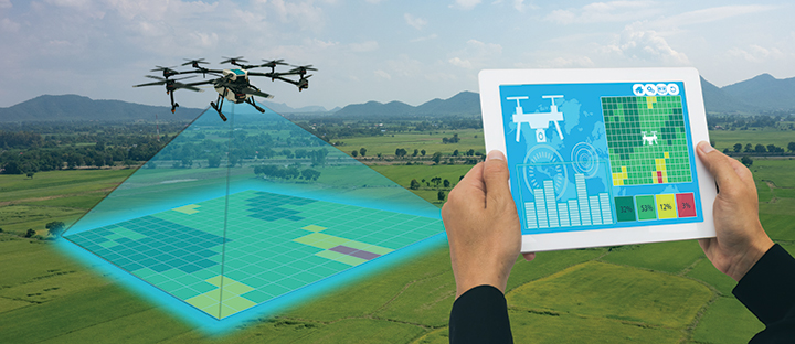
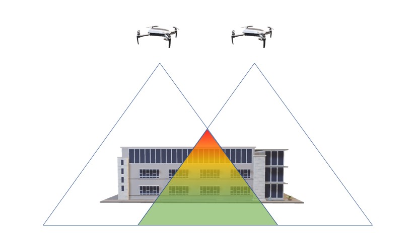
01 · SURVEY
Aerial Surveying & Mapping
High-accuracy orthomosaic maps, terrain models and geo-referenced imagery using professional drones and photogrammetry — GIS, CAD and engineering compatible.
Explore Service
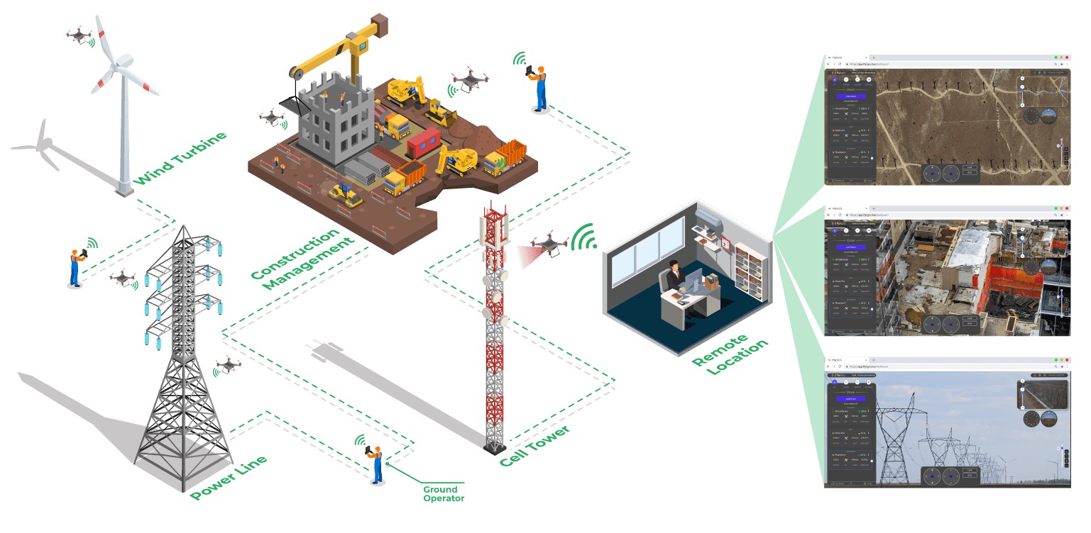
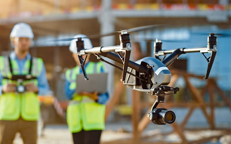
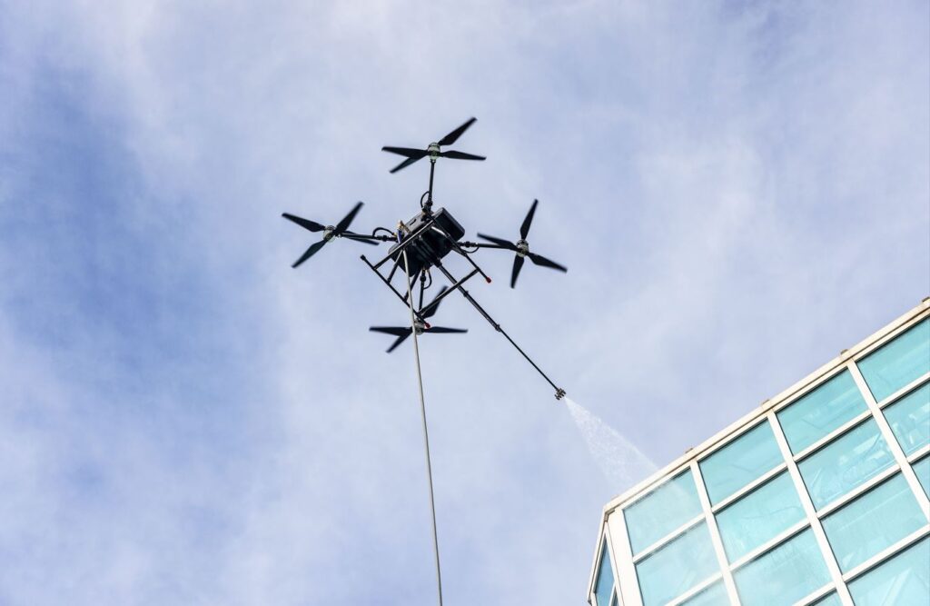
05 · INSPECTION
Asset & Infrastructure Inspection
Close-range visual and thermal inspection for towers, rooftops, solar plants, facades and critical infrastructure — with documented findings and structured reporting.
Explore Service
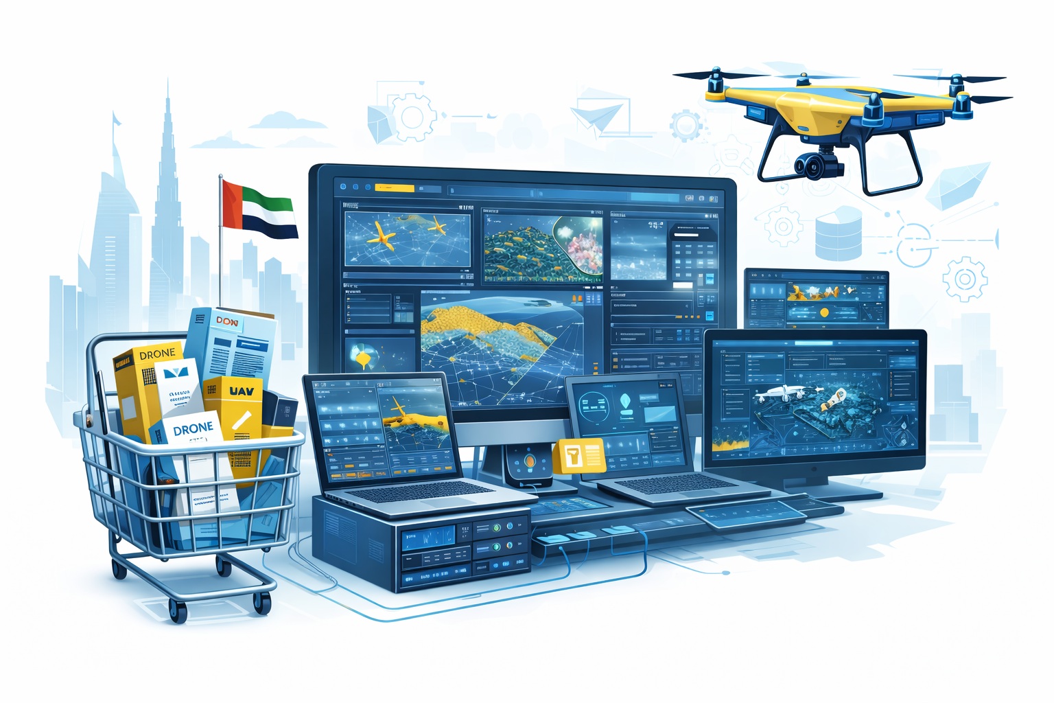
10 · AI
AI Developing Services
Custom AI system development for UAV platforms — computer vision, autonomous flight logic, data pipelines, and smart integration with existing government infrastructure.
Request Scope